


Lynda Course: Learning Pix4D Drone Mapping with Matterport Pro Paul Tice9687
Pages:
1
 WGAN Forum WGAN ForumFounder and Advisor Atlanta, Georgia |
DanSmigrod private msg quote post Address this user | |
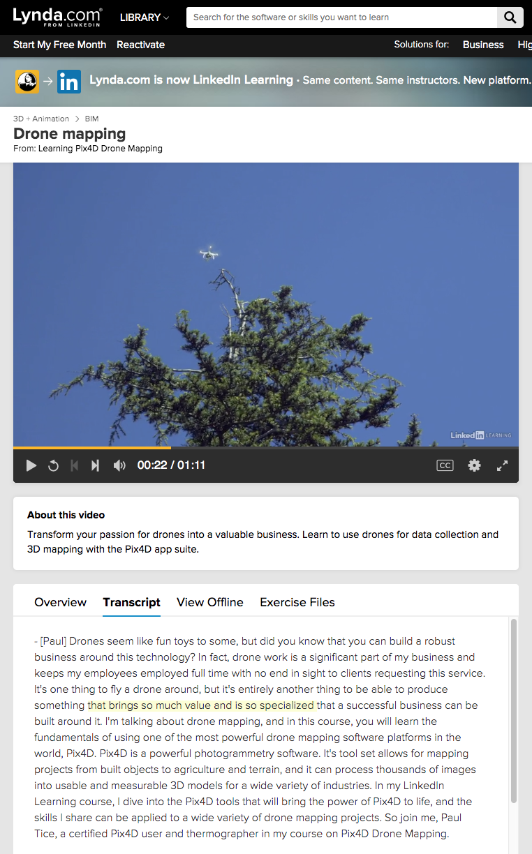 Screen Grab courtesy of Lynda.com | Learning Pix4D Drone Mapping Hi All, If you are creating 3D tours with Matterport, GeoCV, Cupix and iGuide – and are an aerial Pro – you likely want to learn how to use Pix4D to create maps for Architects, Engineers and Construction (AEC) clients. ✓ Lynda.com | Learning Pix4D Done Mapping with Matterport Service Provider Paul Tice Portland, OR-based Topa 3D Founder and CEO Paul Tice (Linkedin) is teaching this course (Topa 3D is also a Matterport Service Provider.) (Paul was my guest on WGAN-TV talking about How to Make Money with Matterport Meets AEC Space for Newbies.) Paul's credentials include: ✓ teaches a Lynda.com/LinkedIn Learning Class, Matterport 3D Scanning and Visualization ✓ consultant in the AEC Space for visualization and scanning of spaces and objects ✓ running workshops for: universities, non-profits and professionals ✓ training for FARO and Matterport ✓ speaking at SPAR3D on rapid documentation of construction projects using LiDAR and Matterport ✓ Journalist for AEC Space trade-publications: LiDAR Magazine and SPAR 3D ✓ Licensed sUAS (Drone) pilot ✓ 20+ years of experience: Survey, CAD, GIS and 3D scanning projects ✓ Project Engineering and training teams on implementing various 3D technologies for construction and design; Creating accurate as-builts/site plans for large, complex buildings, structures and landscapes; Licensed sUAS (Drone) pilot; Photogrammetry Mapping and Reality Modeling; Creating and delivering project Visualizations/Presentations to stakeholders. ✓ Matterport Service Provider There is BIG money in the AEC Space for construction documentation with lots of upside. Stop banging your head against the wall of residential real estate and succeed faster in the AEC Space by watching this episode of WGAN-TV Live at 5 and take Paul's Lynda course: ✓ Lynda.com | Learning Pix4D Done Mapping with Matterport Service Provider Paul Tice Best, Dan Related WGAN Forum Discussions ✓ What is the learning curve for shooting GeoCV 3D Aerial? ✓ Aerial 3D Models with Drone Deploy for GeoCV ✓ GeoCV 3D Tour Mashup with Drone-Captured Models |
||
| Post 1 • IP flag post | ||
Pages:
1This topic is archived. Start new topic?