






Geo Week 2027 Program Announced: Gaussian Splats, SLAM, AI and More21737
Pages:
1
 Owner, Owner,Managing Editor and Publisher of WGAN Forum and WGAN-TV Podcast Fairfield, California |
TomSparks private msg quote post Address this user | |
| Geo Week is a We Get Around Network Marketing Partner Hi All, Geo Week just announced its conference program and speaker lineup for Geo Week 2027, taking place February 23–25, 2027 at the Salt Palace Convention Center in Salt Lake City, Utah.  This year's program covers AI-enhanced workflows, accessible reality capture, scan to BIM, subsurface mapping, bathymetric lidar, resilient infrastructure, data accuracy and workforce development. For the WGAN community, the sessions to watch are Are Gaussian Splats Ready for Real Work?, the Survey Grade SLAM Panel and Proven in Practice: Capture Workflows That Reduce Risk and Deliver Outcomes. "Geospatial professionals are being asked to deliver more accurate data, faster, in increasingly complex environments, and the Geo Week 2027 program meets that challenge head-on with real case studies and important discussions. From some of the world's most complex infrastructure to remote and important landscapes, our speakers will share real-world case studies and practical takeaways attendees can put to work immediately." — Carla Lauter, Senior Content Manager, Geo Week Featured Sessions Other sessions on the 2027 program include Bringing the Underground Into View, A General Counsel's Guide to Defensible Geospatial Data in the Age of AI, Advancing River and Coastal Mapping with Integrated Lidar Workflows, How AI Is Rewriting Geospatial Demand, Next-Generation Corridor Mapping Technologies, Mapping a State Under Pressure and Roads, Rails and Bridges in Three Dimensions. 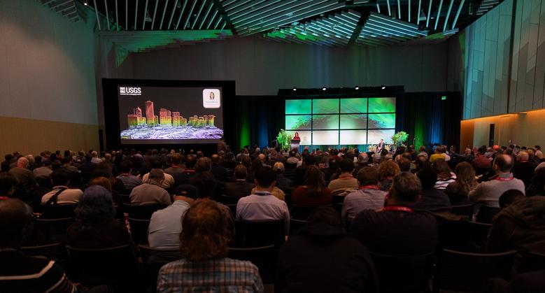 Keynote The program is anchored by the keynote panel A Lake in Crisis: Mapping Utah's Great Salt Lake, which looks at how better data can help communities respond as one of the West's most threatened lakes shrinks. Geo Week says more keynotes will be announced soon. Also at Geo Week 2027 Event Partners ASPRS and the Reality Capture Network (RCN) will again host dedicated conference tracks. Both are included with the Geo Week Full Conference Pass. New this year: Geo Week News is offering Digital Insider Access. Conference pass holders can add it for an additional fee to get keynote videos, session recordings, exclusive takeaways and supporting materials after the event. Through partners including GISCI, Geo Week also offers certificates of attendance that attendees can submit toward professional certification and educational accreditation. There will also be an Emerging Leaders Networking and Mentorship Kickoff program. Register Now Register now to lock in Super Saver Pricing, and select Digital Insider Access during registration: https://wgan.info/geoweek-forum You can view the full conference program here: https://www.geo-week.com/conference-program/ WGAN Members: Are you planning to attend Geo Week 2027? Which session are you most interested in? Is anyone else curious whether Gaussian Splats are ready for real work? Please reply below. Best, Tom |
||
| Post 1 • IP flag post | ||

|
VREAgent private msg quote post Address this user | |
| Tom, The splat panel on Wednesday and the ASPRS workshop on Gaussian splatting for aerial imagery on Tuesday are the two I’m watching. Fusing drone exteriors with handheld interior captures is where splats become a full-property deliverable. Best regards, Ivan |
||
| Post 2 • IP flag post | ||
|
|
VREAgent private msg quote post Address this user | |
| Tom, Attending: yes Most interested in two sessions, both Wednesday 3:30 MT, which is a problem: • Are Gaussian Splats Ready for Real Work? — Esri, Terrasolid, Vexcel and Trimble Applanix. Trimble fuses airborne and ground mobile mapping into one SLAM-constrained splat; Terrasolid shows splats inheriting LiDAR classification. • From Automated Capture to Spatial Agents (RCN track) — Esri’s GCP-free aerial + street-level registration producing seamless splats, then YDrive on prompt-driven splats. On your splat question: yes, and the first session’s own description says we will leave with a decision framework, not a verdict. The Vexcel speaker is there to argue that dense image matching already does the job without a new format. That debate is the reason to be in the room. The two overlap, so the Digital Insider recordings are worth the add-on. XGRIDS is at booth 1021, with Emesent, NavVis, Leica and FARO on the same floor. Best regards, Ivan |
||
| Post 3 • IP flag post | ||
Pages:
1