


Using Insta360 equipment to replace outdated GSV roads?16427
Pages:
1

|
Shadowless720 private msg quote post Address this user | |
| I have been searching through the forums and web to find a solution but cannot seem to come up with anyone sharing my same issues. My equipment is Insta360 One X2 and Insta360 Pro 2 (but has scratch lens from concert where the lead singer kicked it off the stage). Software wise I have access to Matterport and been using it for indoor tours of a new hotel extension ... My boss Fernando tried to use the Pro 2 indoors but got some kind of doubling stitching issue that needs to be redone with my One X2 instead. (not important) I guess my main question is how do I upload with the Insta360 One X2 to GSV to make either blue or dotted lines connected to each other to update the outdated parking lot roads from 2011 and do a walk through of the outlet center? I read that I have to keep the 360 images close together for them to link but the GSV app only lets me get 50 images at a time. Also Tried using video mode as recommended in another post but ran into the GSV app not starting the recording on my Insta360 One X2. Would greatly appreciate the help and eager to see what other solutions might work out. 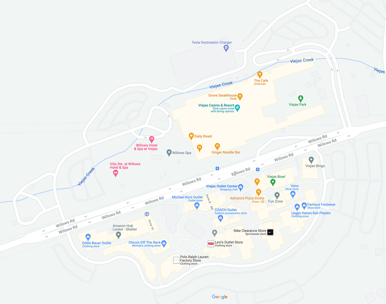 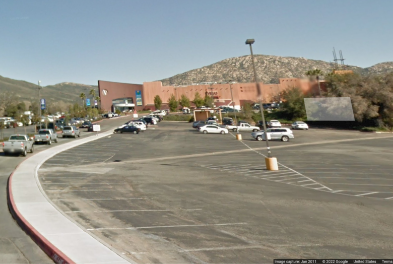 |
||
| Post 1 • IP flag post | ||
 WGAN Forum WGAN ForumFounder and Advisor Atlanta, Georgia |
DanSmigrod private msg quote post Address this user | |
Google Street View of the Dry Falls in Highlands, NC - GSV "Blue-Line" added by We Get Around Atlanta Chief Photographer Dan Smigrod | Shot with Labpano Pilot One EE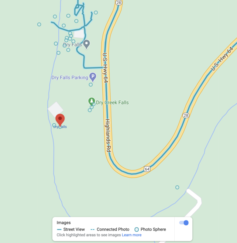 Screen Grab: Google Street View "Blue-Line" created by We Get Around Atlanta Chief Photographer Dan Smigrod Video: One shot per second. This video was uploaded directly from the Labpano Pilot One EE to Google Street View. @Shadowless720 Welcome to the WGAN Forum. About: Quote: Originally Posted by @Shadowless720 I use a Labpano Pilot One EE 360 camera to create Google Street Blue Lines. The workflow is super-simple because you can upload to GSV directly from the Labpano Pilot One EE. I write about this here: ✓ About my Labpano Pilot One EE Google Street View Meets NC Waterfalls Above is the Google Street View "Blue-Line" of Dry Falls in Highlands, NC. I shot this GSV "Blue-Line" with Labpano Pilot One EE set to one shot per second in video. (See video above) --- 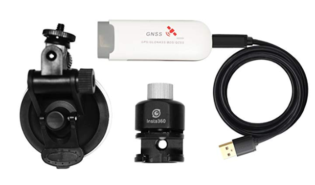 Screen Grab showing the Insta360 Pro GPS Module Kit on Amazon 360º Video: Insta360 GPS Remote!! (360°) | Video courtesy of Kevin Kunze YouTube Channel (29 August 2019) Are you using the Insta360 Pro GPS Module Kit ($56) with your Insta360 One X? If not, I engaged Mike Vorce at @MatterFix to manually place 360s in the correct place on the GSV map for a project. (That's somewhat a tedious workflow to learn just for this project.) Other WGAN Members have posted about using an Insta360 Pro2 for GSV. Perhaps @Tosolini has a moment to chime in. Does that help? Best, Dan ---  Buy a Labpano Pilot One EE camera and Succeed Faster with a free WGAN-TV Training Academy 1-Year Membership when you use one of these We Get Around Network affiliate links to buy the Camera: Amazon | Adorama | Labpano |
||
| Post 2 • IP flag post | ||
 WGAN Fan WGAN FanClub Member Queensland, Australia |
Wingman private msg quote post Address this user | |
| Are you using their new app for Insta360 OneX 2? As I understand they have removed GSV recording from it. However the old app still works for GSV and Insta360 OneX 1. May be try to install it and see if it works with the second version of Insta360 OneX. However If I had an Insta360 Pro2 I would use it even with a scratched lens. It has much better picture quality and resolution. |
||
| Post 3 • IP flag post | ||
|
|
Shadowless720 private msg quote post Address this user | |
| So far I been working to repair the Insta360 Pro 2 like Wingman suggested. We are at this point fine with the scratch after testing. The bottom mount is damaged but been working with the maintenance shop at work to get it not as bent. So I guess my questions are that if I use the Insta360 Pro 2 on computer app that allows me to upload directly to google. Will this method allow us to replace all outdated google contributed blue line streets on Google Street View? Do we film it in one go entirely then let them link it together or do we break it up into segments. Will breaking them up into segments not allow each of the segments link together in one major run? 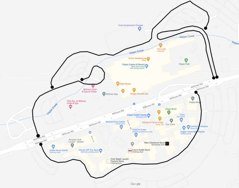 |
||
| Post 4 • IP flag post | ||
|
WGAN Forum Founder and Advisor Atlanta, Georgia |
DanSmigrod private msg quote post Address this user | |
Quote:Originally Posted by @Shadowless720 @Shadowless720 I recommend one continuous shot. My understanding is that longer can help replace older. That said, my impression is that Google does not replace; it just (may) update (if "it" thinks the quality of the content is better; longer and current). The older content is still available for those that want to go back in time (timeline). Hopefully, @Wingman and @MatterFix (and perhaps others) will chime in on your questions. Best, Dan |
||
| Post 5 • IP flag post | ||
|
|
Shadowless720 private msg quote post Address this user | |
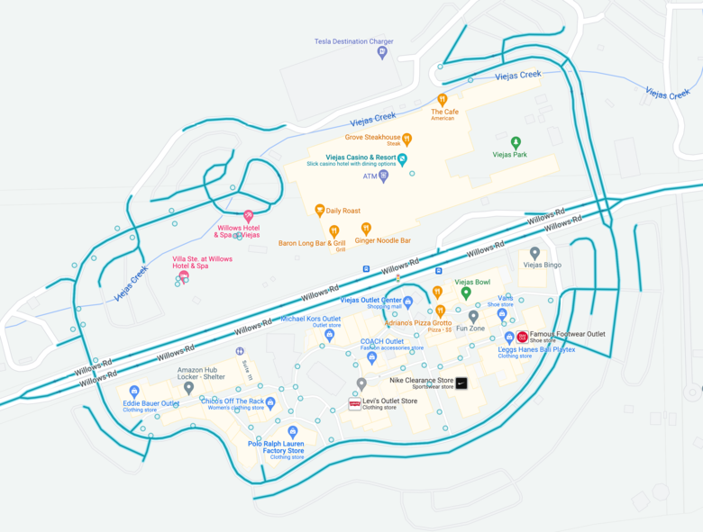
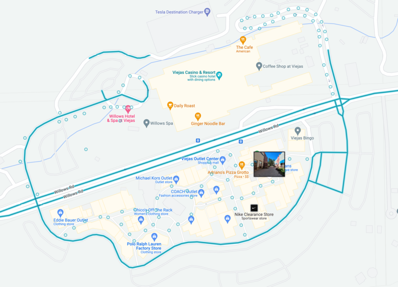 Update on things relating to this project for others to know how the results ended up. We could not use the Insta360 Pro 2 because it kept corrupting all its footage (again it fell from a stage and we never gave it a second chance since for check ups or testing). I ended up using the Insta360 One X2 in video mode on top of one of our carts mounted to a mono pod strapped between the two bars holding up the roof to the cart. This allowed me to hold onto it but also not vibrate to the carts engine or bumps. After driving the newly designed route which linked all the desired roads into a single path I got an HDR video from the 360 camera. Back at the office I used the software Insta360 Studio 2021 to scrub through the video and take snapshots from the file using the softwares snapshot function. I judged about every 10-15 feet for the whole video and exported about 160 images. I then used GoThru to upload all my images too and work on them within the website. After properly aligning and placing all the images I sent it off to google through GoThru and now is being processed. My on foot tour on the south side in the Outlet is also finally up but not sure they are linking to each other yet but also used GoThru to get that done too. Just want to say this was a lot harder than it needed to be but glad for the encouragement and support from everyone for helping me try to get this done. |
||
| Post 6 • IP flag post | ||
|
WGAN Fan Club Member Queensland, Australia |
Wingman private msg quote post Address this user | |
Quote:Originally Posted by Shadowless720 if you are breaking in segments within in a camera built-in function it is better to use it. You may be driving/walking through spots with bad access to GNSS satellites and you will lose location data in frames. If you do it as one long recording you are doomed for the whole video because Google will fail to process it and you will have to do the whole length again. I have been in this boat and I have had to redo a long walk twice in humid & hot environment. If you do it with segmentation then only one short video with no location in frame needs to be redone. Do not worry about publishing many videos for one blue line. Google will join them. At least I have done a few that way for forest trails near me and it has always worked. |
||
| Post 8 • IP flag post | ||
Pages:
1This topic is archived. Start new topic?