


GEO Week 2022 | Denver, CO | Questions?16381
Pages:
1
 Matterport Matterport Camera Repair Service Gainesville, Florida |
MatterFix private msg quote post Address this user | |
| Thanks to Dan I’ve got a press pass for GEO Week 2022 - I’ll be posting some of the more interesting things I see...if you have anything in particular you’d like more info about, put a message in this thread. https://www.geo-week.com/ | ||
| Post 1 • IP flag post | ||
|
Matterport Camera Repair Service Gainesville, Florida |
MatterFix private msg quote post Address this user | |
 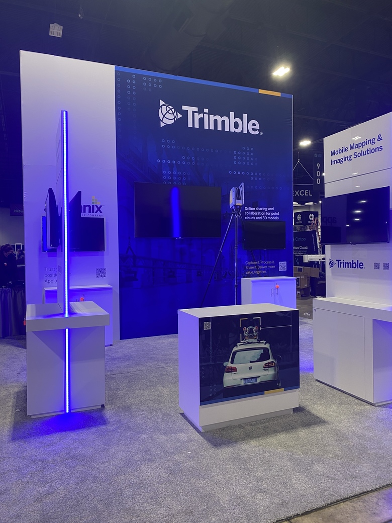 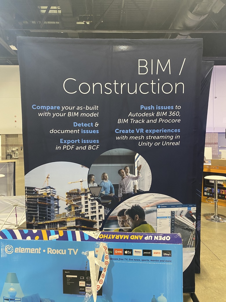     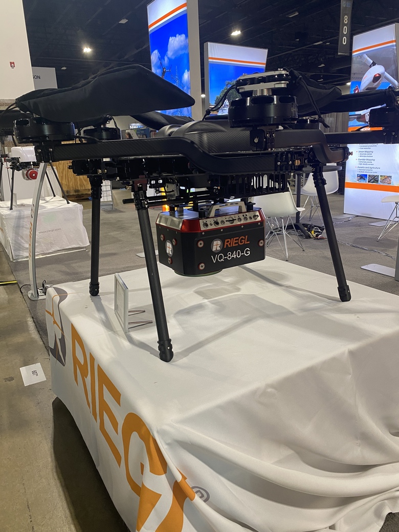 |
||
| Post 2 • IP flag post | ||
 WGAN Standard WGAN StandardMember New York City |
Jonathan_Klein private msg quote post Address this user | |
| I'll be moderating a panel conversation on Location Intelligence for Design and Engineering Feb 08 2022 / 11:30 AM - 12:30 PM MT / Room 102 Geographic information systems (GIS) have long been used to model the environment and to perform 2D spatial analyses of large areas. However, with the increasing availability of computing power, advanced data acquisition methods, and automated workflows that generate detailed 3D data, GIS models have become increasingly detailed and started to contain models of individual buildings—the traditional domain of building information modeling (BIM). This session will explore the convergence of location information and AEC, where BIM and GIS overlap. https://www.geo-week.com/session/location-intelligence-for-design-and-engineering/  |
||
| Post 3 • IP flag post | ||
|
Matterport Camera Repair Service Gainesville, Florida |
MatterFix private msg quote post Address this user | |
| Interesting product from Pix4D - Photogrammetry experts Pix4D has launched survey-grade 3D modeling on mobile devices with RTK accuracy. The viDoc RTK rover enables ground-based RTK-grade 3D scanning with iOS mobile phones and tablets through the Pix4Dcatch app. “Conceived by viGram GmbH., a German company led by professional surveyors, the viDoc RTK rover is designed with an eye for accuracy and works with Pix4Dcatch for image acquisition,” says a Pix4D product announcement. “The hand-held RTK rover is a replacement for more expensive ground surveying equipment that does not compromise on accuracy to achieve 3D, actionable results.” |
||
| Post 4 • IP flag post | ||
Pages:
1This topic is archived. Start new topic?