


360 Aerial Shots: Anyone have a resource for 360 aerials?13888
Pages:
1

|
BlueImmersiveMedia private msg quote post Address this user | |
| Hey Everyone - There is a company I have ordered 360 aerial shots from before. I think they are a WGAN member. I can find their info. Anyone have a resource for 360 aerials. I want to order a google view, not have one shot. Thanks! |
||
| Post 1 • IP flag post | ||
 WGAN Forum WGAN ForumFounder and Advisor Atlanta, Georgia |
DanSmigrod private msg quote post Address this user | |
| @BlueImmersiveMedia Is this what are seeking? ✓ How to monetize drone imagery (and get satellite imagery free) via SOAR ✓ All WGAN Forum discussions that mention: SOAR Happy New Year, Dan |
||
| Post 2 • IP flag post | ||

|
dzunker private msg quote post Address this user | |
| Where are your located? So any aerial photo or do you want one taken? |
||
| Post 3 • IP flag post | ||
|
|
BlueImmersiveMedia private msg quote post Address this user | |
| @DanSmigrod @dzunker There was a service that you could put Lat/Long and get back a 360 aerial... |
||
| Post 4 • IP flag post | ||
|
WGAN Forum Founder and Advisor Atlanta, Georgia |
DanSmigrod private msg quote post Address this user | |
| @BlueImmersiveMedia That service is no longer available. Dan |
||
| Post 5 • IP flag post | ||
|
|
BlueImmersiveMedia private msg quote post Address this user | |
| @DanSmigrod Thanks Dan! | ||
| Post 6 • IP flag post | ||
 WGAN Standard WGAN StandardMember Boxborough, Massachusetts |
toddwaddington private msg quote post Address this user | |
Hello @BlueImmersiveMedia. Hope you are having a great holiday. For future reference. I am able to take drone panos with my equipment. Also, because I previously did't have a need for it I hadn't considered your query. I found a video which immediately helped me realize that all of my drone images have GPS coordinates embedded in exif data. see attached screen shot. 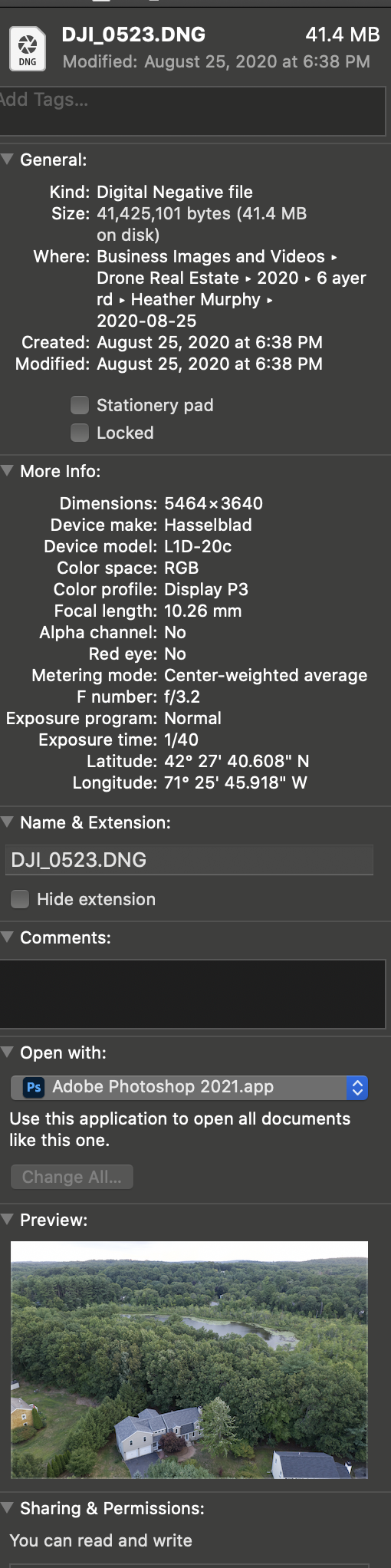 |
||
| Post 7 • IP flag post | ||
|
WGAN Forum Founder and Advisor Atlanta, Georgia |
DanSmigrod private msg quote post Address this user | |
| @BlueImmersiveMedia Is this helpful? SOAR (Try your location.) Dan |
||
| Post 8 • IP flag post | ||
|
|
BlueImmersiveMedia private msg quote post Address this user | |
| @DanSmigrod It could be, I looked. It doesnt look like its 360. I did a mockup using Earth. It will serve me for now. Thanks! |
||
| Post 9 • IP flag post | ||
|
WGAN Forum Founder and Advisor Atlanta, Georgia |
DanSmigrod private msg quote post Address this user | |
| @BlueImmersiveMedia Is this a possible solution for you? https://www.wegetaroundnetwork.com/topic/12775/page/1/aerialsphere-360-aerial-mapping-its-like-google-street-view-in-the-sky/ Dan |
||
| Post 10 • IP flag post | ||
|
|
BlueImmersiveMedia private msg quote post Address this user | |
| @DanSmigrod I need FL. I did see your post on this. But I need FL... Doesn't look like the cover it. | ||
| Post 11 • IP flag post | ||
|
|
BlueImmersiveMedia private msg quote post Address this user | |
| @toddwaddington Hey! You are my Go-To in MA. I love your work! This project is in FL. Please work on cloning yourself! Happy Holidays! | ||
| Post 12 • IP flag post | ||
 WGAN Fan WGAN FanClub Member Queensland, Australia |
Wingman private msg quote post Address this user | |
| Just find a local guy with a drone that has a panorama mode and they can do it for you. These are drones that come with it for sure. DJI Phantom, Mavic Pro, Spark and Air.. basically any DJI drone that is controlled by DJI GO app. Also Yuneec drones like Typhoon H or 480 also have this mode. It is automated capture so it is just point and it will shoot all pictures required for a 360. If the guy you are going to hire cannot stitch them into a pano you can try to do it yourself. I believe DJI even offers a free stitching software. |
||
| Post 13 • IP flag post | ||
|
WGAN Fan Club Member Queensland, Australia |
Wingman private msg quote post Address this user | |
Quote:Originally Posted by toddwaddington You do not need location data in Exif to stitch into 360. In fact it should not be used for stitching at all. Your Mavic comes with the 360 mode in DJI GO app and can capture all panorama pictures automatically with just a click of a button. |
||
| Post 14 • IP flag post | ||
|
WGAN Forum Founder and Advisor Atlanta, Georgia |
DanSmigrod private msg quote post Address this user | |
| @BlueImmersiveMedia Saw this on LinkedIn... “Tens of thousands of panoramic aerial images, all geo-rectified for data overlay. Find your perfect angle at https://lnkd.in/eus88eR ...” Dan |
||
| Post 15 • IP flag post | ||
|
|
BlueImmersiveMedia private msg quote post Address this user | |
| @DanSmigrod Thank you! Ill take a look! | ||
| Post 16 • IP flag post | ||
|
WGAN Forum Founder and Advisor Atlanta, Georgia |
DanSmigrod private msg quote post Address this user | |
| @BlueImmersiveMedia More from LinkedIn ... “ Experience the world below from numerous vantage points with AerialSphere’s new public Style for Mapbox- pan, tilt and zoom your way through a national dataset of 360-degree aerial panoramas. https://buff.ly/3oLhVe5 #builtwithmapbox ...” Dan |
||
| Post 17 • IP flag post | ||
|
WGAN Fan Club Member Queensland, Australia |
Wingman private msg quote post Address this user | |
| I sold my commercial drone and bought its pro-consumer version that has a 360 capturing mode. I will need to test it once that other drone is delivered but most likely I can offer 360 aerial service in Brisbane. | ||
| Post 18 • IP flag post | ||
Pages:
1This topic is archived. Start new topic?