


Tip: 3 Reasons Matterporters should use the Compass App when doing a scan13254
Pages:
1
 WGAN Forum WGAN ForumFounder and Advisor Atlanta, Georgia |
DanSmigrod private msg quote post Address this user | |
 Screen Grab: Compass iOS App for iPad Tip: 3 Reasons Matterporters should use the Compass App when doing a scan Hi All, If you are new to Matterport scanning, use the free Compass iOS app on your iPad to know where the sun is and where the sun is going. Scan where the sunlight is NOT pouring inside the space. Why? 1. To help avoid "black holes" where users "fall through the floor" 2. Improve the view from inside to outside (avoid the "blown out" lighting shooting into the sun) 3. Avoid misalignments (if the camera "sees" the sun, the stitching can get confused How else do you use your compass app to help you with your Matterport scanning? Best, Dan 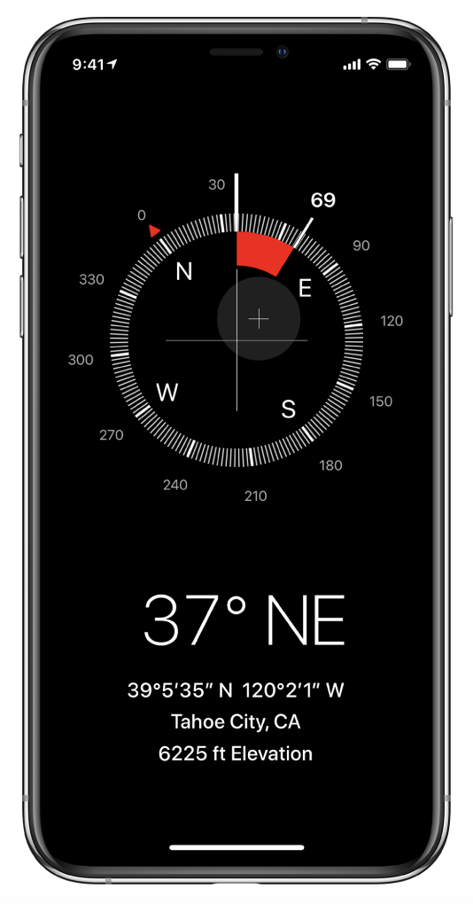 Screen Grab: Free Compass iOS App for iPhone |
||
| Post 1 • IP flag post | ||
 WGAN Fan WGAN FanClub Member |
osakadave private msg quote post Address this user | |
| Good advice! I use Lightrac and The Photographer's Ephemeris as well with overlays from Google Maps. | ||
| Post 2 • IP flag post | ||

Surgoinsville, Tennessee |
MatterVids private msg quote post Address this user | |
| @DanSmigrod, I almost always use the compass app on my iPhone for leveling, but for tracking the sun  Or triaging multiple scans on the Same day, I prefer to use the PhotoPills app. Or triaging multiple scans on the Same day, I prefer to use the PhotoPills app.There are a ton of planning tools, but my favorite part is under the “sun” section, includes detailed geo specific info.   The AR option is very helpful when you first arrive on site. (Especially if you are shooting multiple locations in a day and “chasing daylight”) Not to mention, clients always seem to be impressed by it if they are on location. 🤣 God Bless, Chris 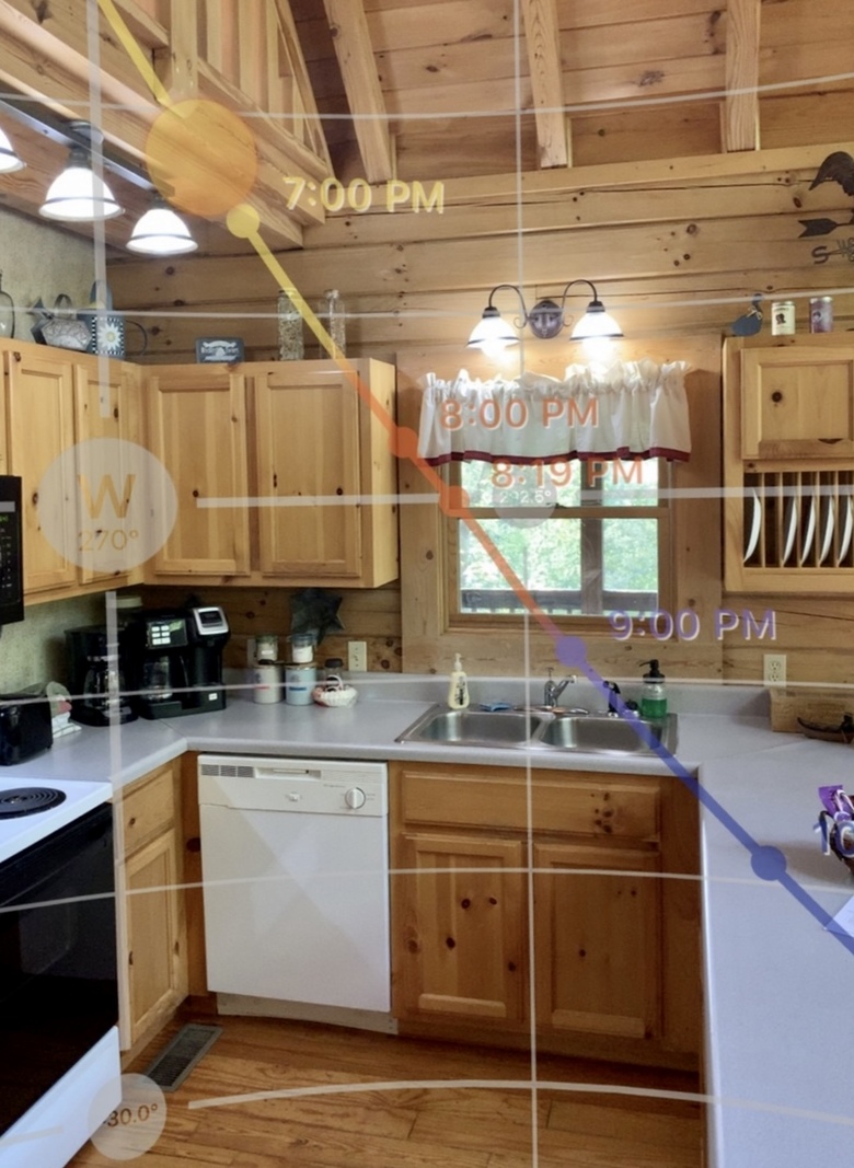 |
||
| Post 3 • IP flag post | ||
Pages:
1This topic is archived. Start new topic?